James River Bridge
Alberta
Get Directions →
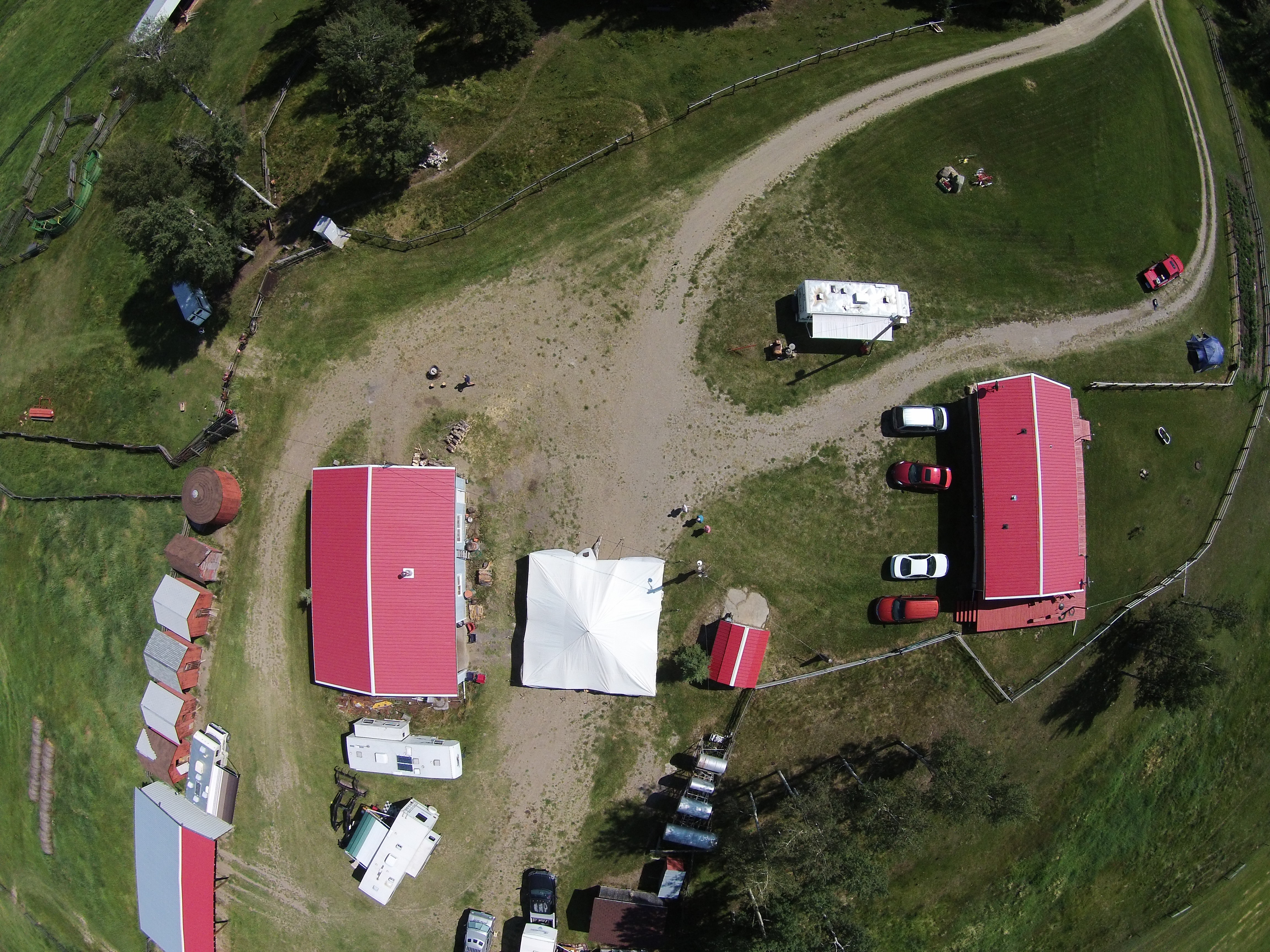
One of our aerial imagery acquisition projects utilizing a drone. Click on link below to see new imagery…the detail is amazing!

James River Bridge
Alberta
Get Directions →
One of our aerial imagery acquisition projects utilizing a drone. Click on link below to see new imagery…the detail is amazing!