Anarchist Mountian
BC
Get Directions →
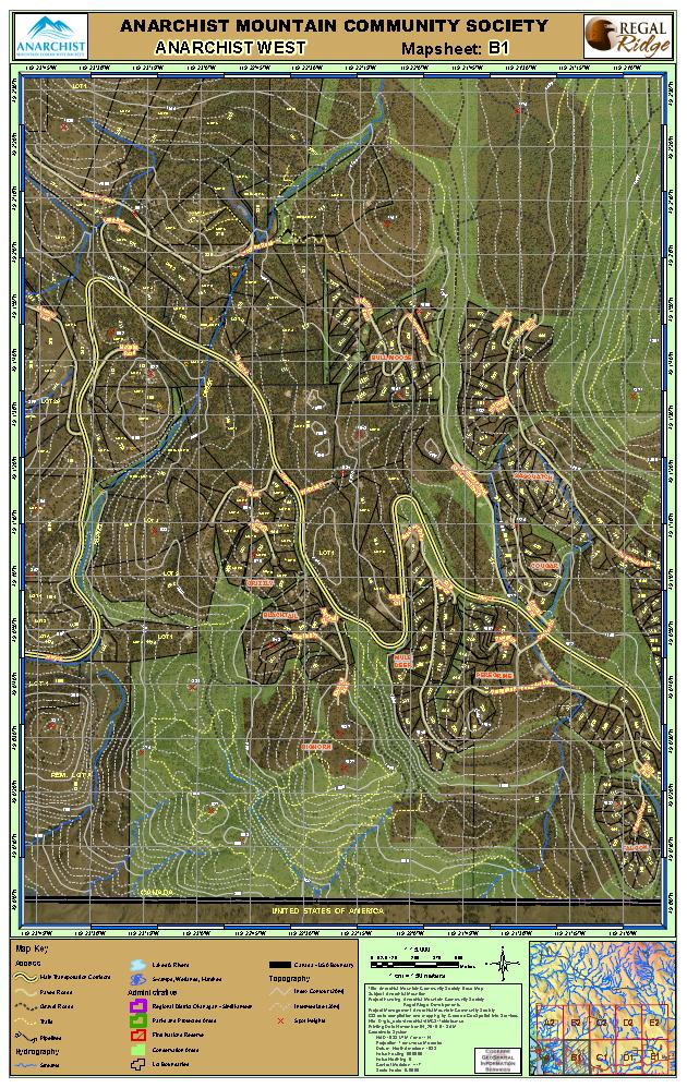
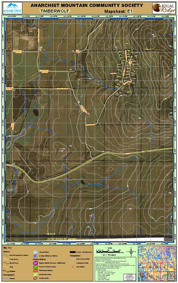
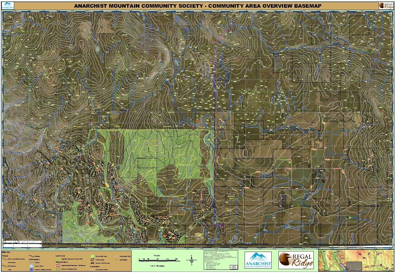
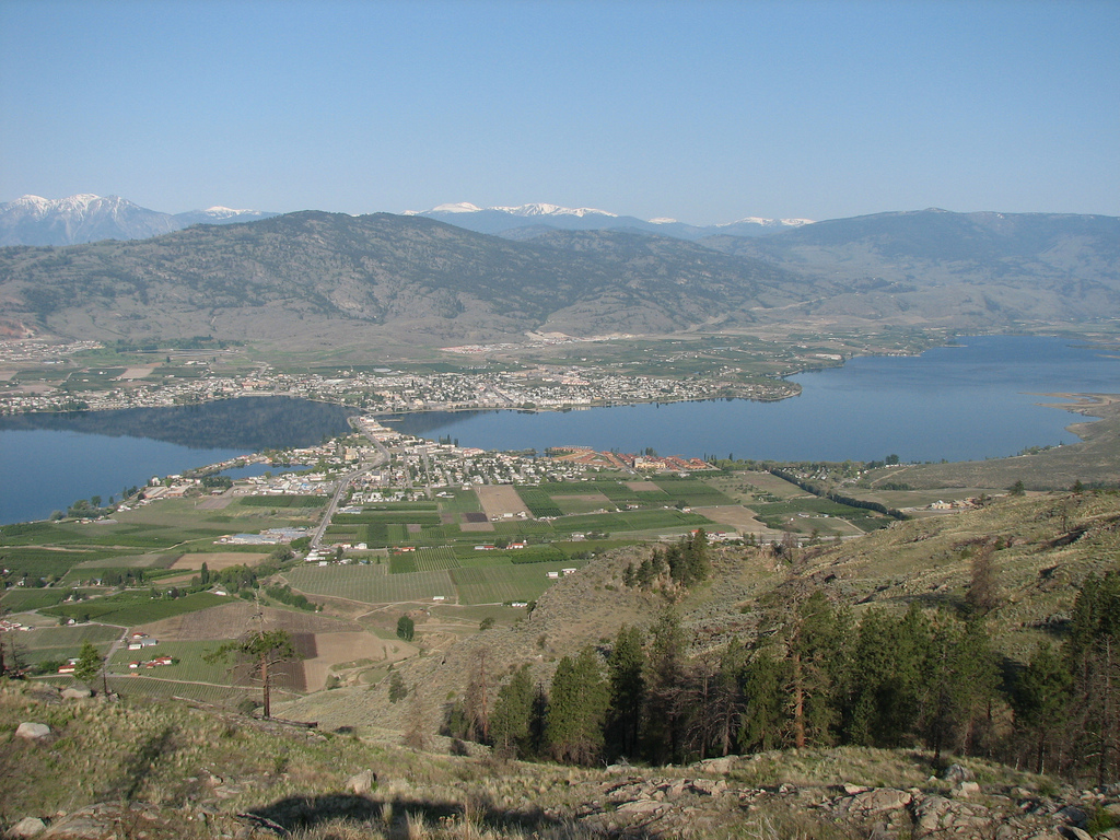
The Anarchist Mountain Community Society embarked on a mapping program to capture and map existing recreation and access features in the geographic area of Osoyoos Mountain Estates, high atop Anarchist Mountain just to the east of Osoyoos BC and overlooking the scenic Okanagan Valley where it crosses from Canada into the USA.
After all relevant data had been collected from various souces including government, public agencies and the developer of the community, GeoSpatialInfo began the process of compiling a comprehensive set of recreation field maps based on a tabloid page size for the area along with several large format overview maps of the entire area. The resultant set of 10 field maps is now available for download on the AMCS website. Check out the gallery below for some samples of our work and a other pics of the valley…