Summerland
British Columbia
Get Directions →
The Okanagan And Similkameen Invasive Species Society (OASISS) has been actively participating in prevention, detection and management of invasive species in the Okanagan-Similkameen since 1996 (this group was formerly referred to as the South Okanagan-Similkameen Invasive Plant Society). The role of OASISS is to encourage and facilitate agency coordination, prioritize management activities, coordinate/evaluate on-the-ground treatment and to provide public information programs for invasive species management. Prevention and education are considered priority management activities.
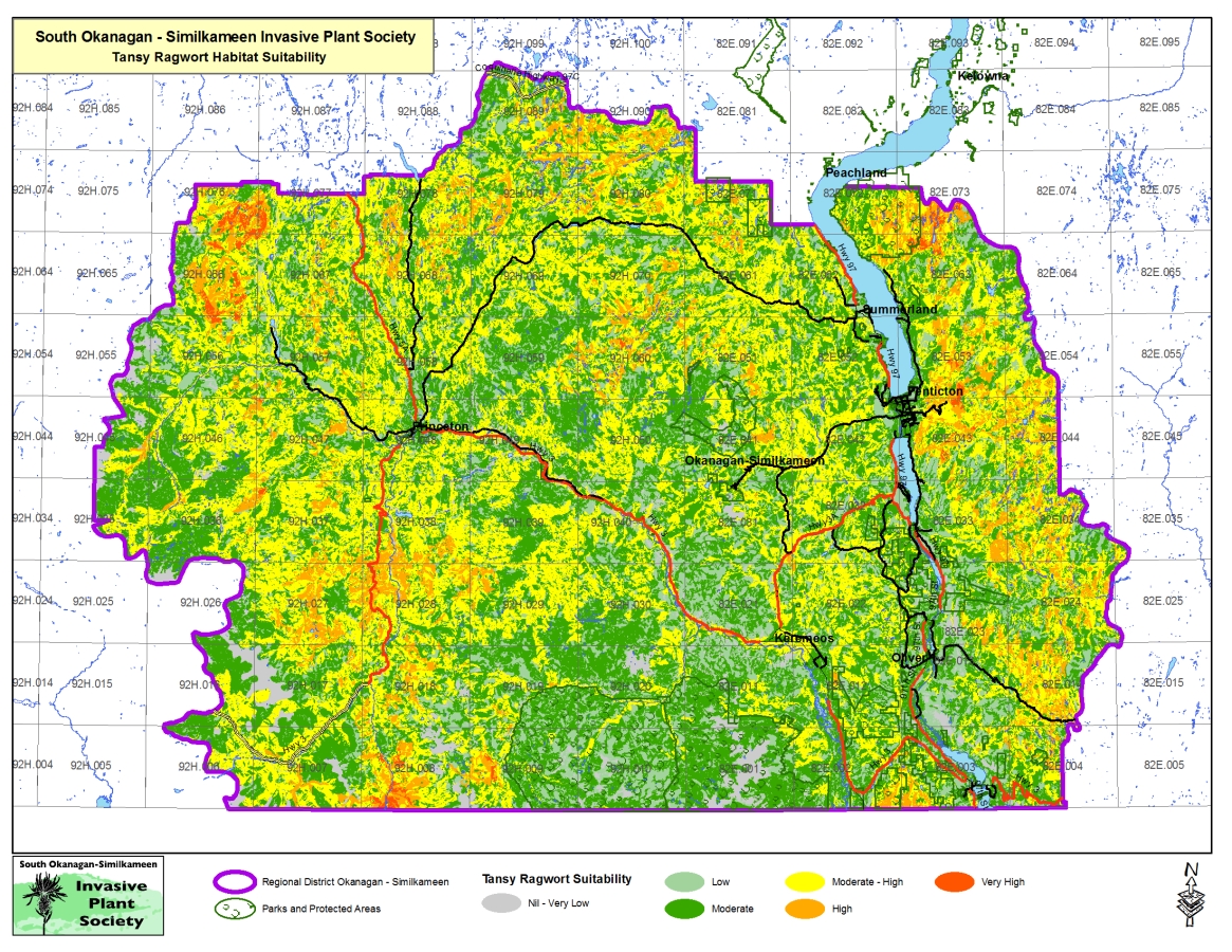
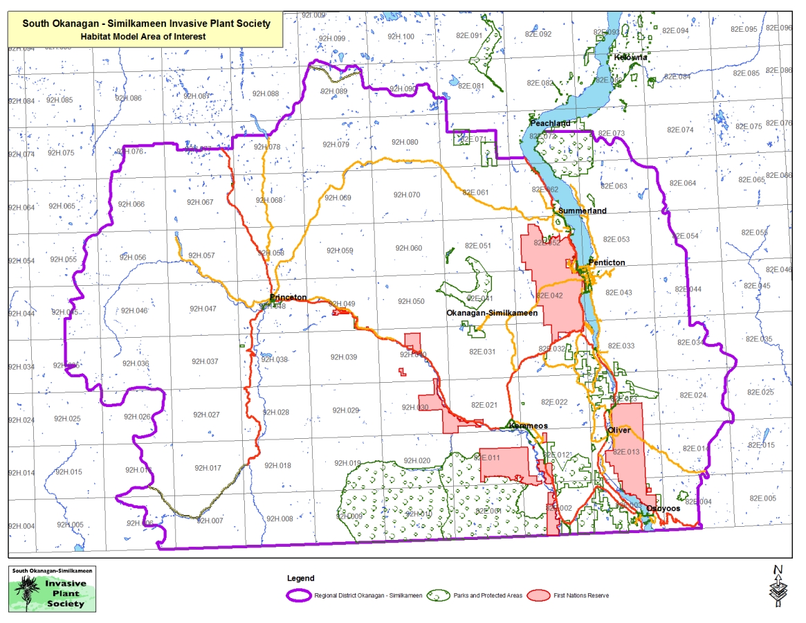
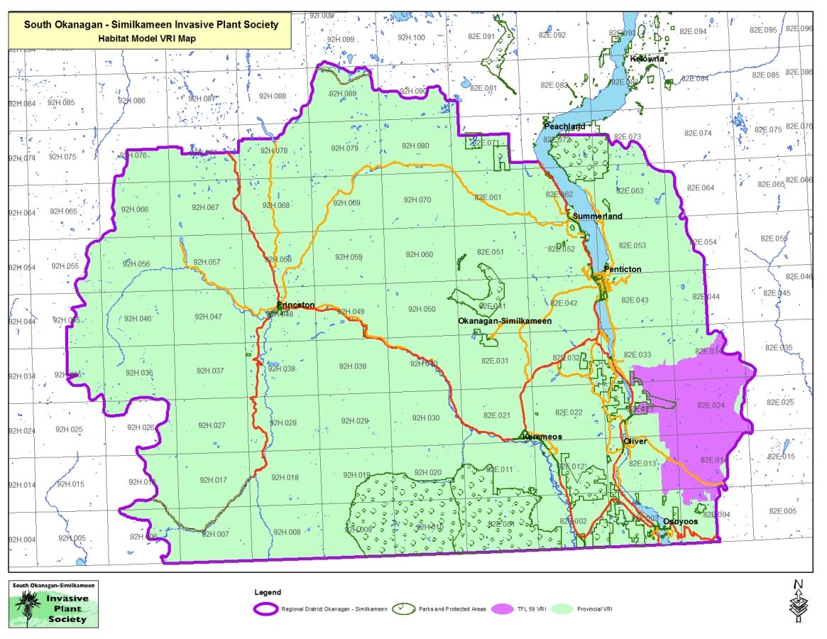
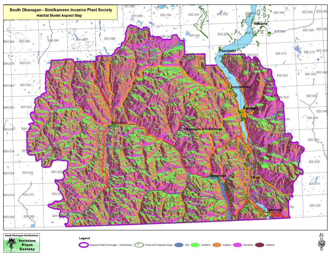
GeoSpatialInfo is heavily involved in the management of the Societies GIS capacity. To date we have developed a Habitat Suitability Model and a Priority Ranking tool to assist in managing and directing available resources to deliver the best impact for the dollars. We also deliver on all of OASISS’ mapping requirements.
Browse through the slides in the gallery below for some samples of some of the maps and analysis we do for OASISS…